MountHenry
Official Townland name

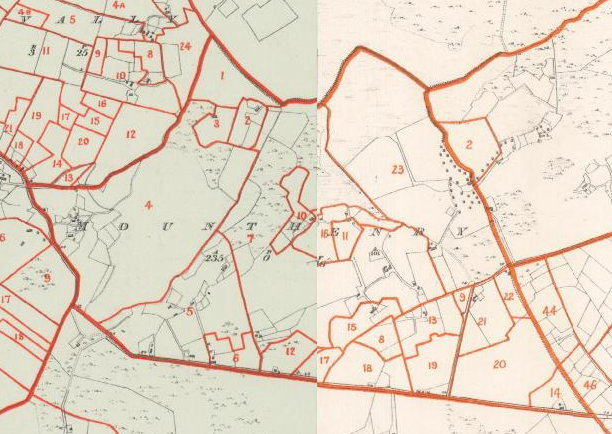
Click on map for a more detailed version

Click on Town Plan for a more detailed version
Click on the Griffiths Valuation Ballinrobe Page # 161 to see a list of tenants with plot numbers to match the Griffith map.
Placenames
Placenames mentioned in this townland are :Field Name Book
Field Name Book description from 1838/1839 noted by the surveyors who produced the O.S maps originally.Mounthenry
B.S.S.M. : 22- Mounthenry : J. 0'D,
- Mounthenry or Coarse Park : Rev. Jas. Geraghty
- Mounthenry : IMeresman
Situated in the south side of the parish. It is bounded on the N. by the td. of Glasvally E. by tds. of Cloghmoyne and Ballisnahyny; S. by Gortbrack ; and W.. by Ballycurrin td.
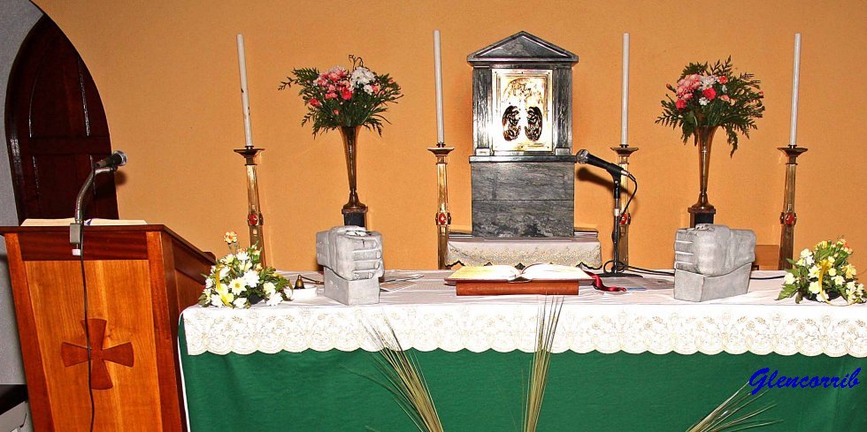
It contains 235a. Or 16p.,.and is the property, of captain Lynch, Ballycurrin House . It is let to tenants at will, in farms of from 5 to 12 acres, at the yearly rent of from 18s. to 20s. per Irish acre. There is a great deal of rocky and boggy land, for which the tenants also pay. The tenants are all Catholics. There is a Roman Catholic Chapel on the boundary between this td. and Cloghmoyne td.
When searching for a placename type some or all of the word and click search. If you are unsure of the spelling try a part of the word . For example the placename Mocharra sounds like Moharra so if you search for arra you should find it. For example a placename record ( eg Rostaff ) gives the townland ( eg Moyne ) and the civil parish ( eg Shrule ) .
